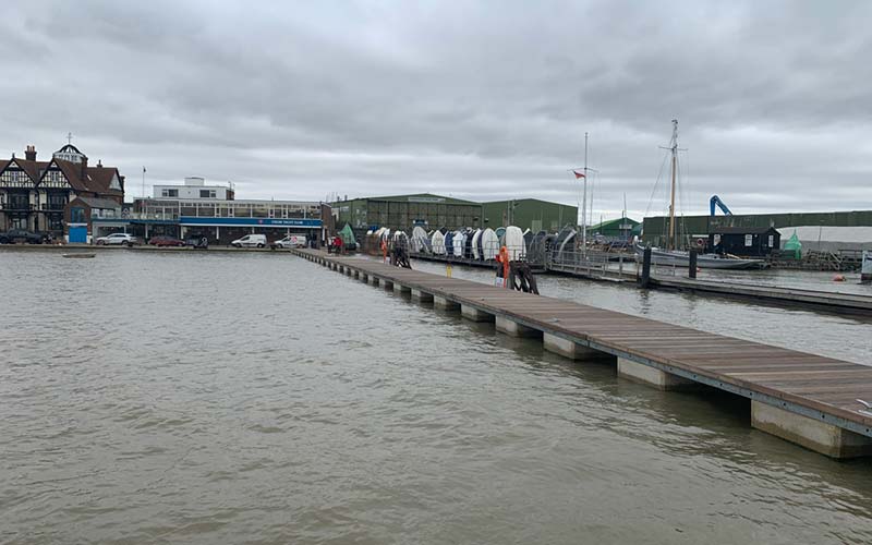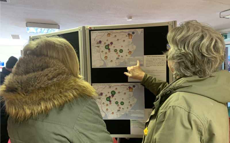
Proposals to open up a 50 mile stretch of coast between Salcott and Jaywick that would take in Brightlingsea have been unveiled by Natural England.
The coastline between Salcott and Jaywick follows the estuaries of the River Colne and part of the Blackwater and the path would be the first continuous route around these estuaries. Once established this final stretch of the path will complete a 295 mile (474 kilometres) coastal route around the Essex coast, starting at the Tilbury ferry and finishing on the Essex/Suffolk border near Manningtree, and be a part of the 2,700-mile-long England Coast Path.
In order to get from Brightlingsea Hard to Stone Point on Point Clear, Natural England says two “significant sections of new path, one along the east side of Flag Creek and the other along the west side of Flag Creek” would be required. It adds that “significant inland diversions are necessary to take the trail past the port of Brightlingsea, to the east of Brightlingsea near Lower Farm where the seawall is in unsuitable condition for public access, and on the east side of Flag Creek where there are excepted land types beside the Creek”.
The mudflats and saltmarshes that are a feature of much of the walk in the proposed stretch support large flocks of birds – during autumn and winter, dark-bellied brent geese, black-tailed godwit, redshank and grey plover are often present in internationally important numbers, along with some of the biggest UK flocks of shelduck, avocet, dunlin and several other wader and wildfowl species. It also provides nesting habitat for marsh harriers, barn owls, nightingales, terns and ringed plovers.
An eight-week period for the public comment on the proposals is now open and closes at midnight on Wednesday 9 December 2020. Owners and occupiers of affected land may make objections about the reports on specified grounds. Objections will be considered by a planning inspector before the secretary of state makes a final decision.
More details and information about how to comment can be found here.


